The bicycle and pedestrian network in Columbus includes a variety of facilities for bicycle and pedestrian travel. The following list describes the various types of bicycle and pedestrian infrastructure you may encounter in Columbus.
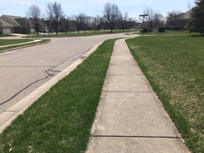 Sidewalk
A sidewalk is a portion of a street right-of-way designed for preferential or exclusive use by pedestrians. Sidewalks are five feet wide and are generally separated from the street by a grass lawn.
Photo: A sidewalk in Broadmoor Addition near Rocky Ford Road
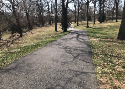 Shared Use Path
Shared use paths are physically separated from motor vehicle traffic and provide shared space for two-way bicycle and pedestrian traffic. They may be located parallel to roadways or in areas outside of the roadway network, such as in parks or along rivers. Shared use paths can be asphalt or concrete and are used by multiple user groups, including pedestrians, bicyclists, joggers, wheelchair users, skaters, and other non-motorized users. The Columbus People Trail network consists only of shared use paths, but not all shared use paths are People Trails.
Photo: The Haw Creek People Trail near Lincoln Park
 Buffered Bicycle Lane
A buffered bicycle lane is an on-street dedicated lane for bicycle travel separated from motor vehicle traffic by a painted buffer. Compared to a bicycle lane, buffered bicycle lanes provide greater separation between the motor vehicle and the bicyclist. The width of the buffer can vary. Buffered bicycle lanes are designated by striping, pavement markings, and signs.
Photo: Buffered bicycle lane on Rocky Ford Road
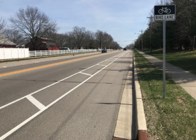
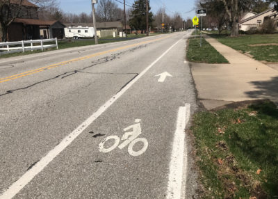 Bicycle Lane
A bicycle lane is an on-street dedicated lane for bicycle travel adjacent to a motor vehicle travel lane. Bicycle lanes are designated by striping, pavement markings, and signs. Bicycle lanes are typically 5 feet wide and are separated from motor vehicle traffic lanes by a 4 inch white stripe.
Photo: Bicycle lane on River Road
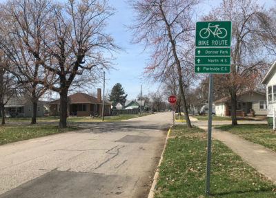 Neighborhood Bicycle Route
Neighborhood bicycle routes are streets with low motor vehicle volumes and speeds where bicyclists share the roadway space with motor vehicle traffic. Neighborhood bicycle routes are generally identified by signage and pavement markings.
Photo: Neighborhood bicycle route along 19th Street
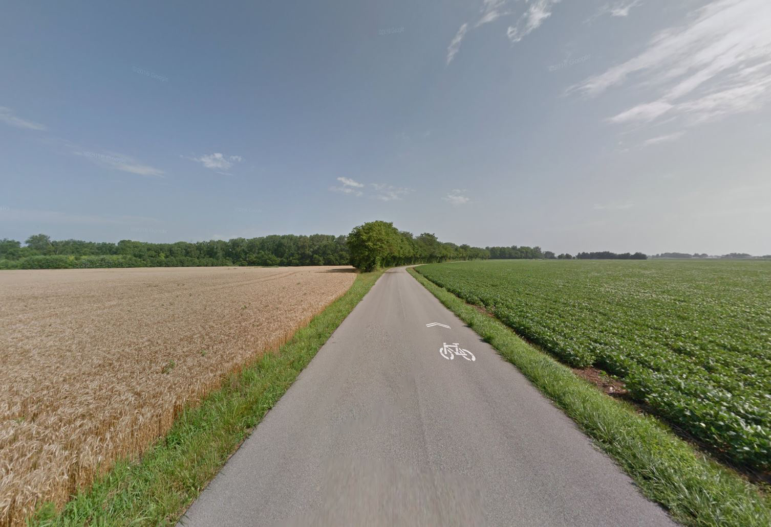 Rural Bicycle Route
Rural bicycle routes are a system of signs and pavement markings that guide bicyclists along preferred routes in rural areas outside of the Columbus city limits.
Photo: Rural bicycle route on County Road 25 East